In 1854, during a cholera outbreak in London, physician John Snow made a map depicting the locations of deaths, and thus connected the outbreak to a contaminated water pump in Soho, disproving the prevailing assumption that the disease was spread by miasma in the air. His detailed analysis revolutionised the use of data visualisation.
Fast forward to today, and geospatial data is used for everything from governments making security plans to marketeers seeking out the best billboards and farmers seeking to improve crop yield. One key growth area centres around the environment – including analysing where best to install renewable energy capacity, how to prevent wildfires, how to protect assets from climate-related damage or how to ensure that supply chains are sustainable.
Accessible and free-to-use geospatial mapping software such as Google Maps and open-source platforms like OpenStreetMap have made geospatial data easier for a broader audience to use, share, and understand. "It is an industry that has existed for more than 40 years now, but it has traditionally been a niche on its own; you had to go to a geography class to be able to do geospatial analysis, spatial analytics or GIS,” says Javier de la Torre, founder and chief strategy officer at CARTO, a geospatial start-up that raised USD61 million in 2021 from backers including Accel and Salesforce Ventures. “The trend we are seeing right now is the confluence of geospatial with general digital analytics,” he explains. “Geo is one more column on your database.”
For one thing, there is more data. “The explosion of social and human data from sources like mobile phones provides fine-grained spatial and temporal information to understand activity,” says Jing Gao, Assistant Professor of Geospatial Data Science at the University of Delaware.
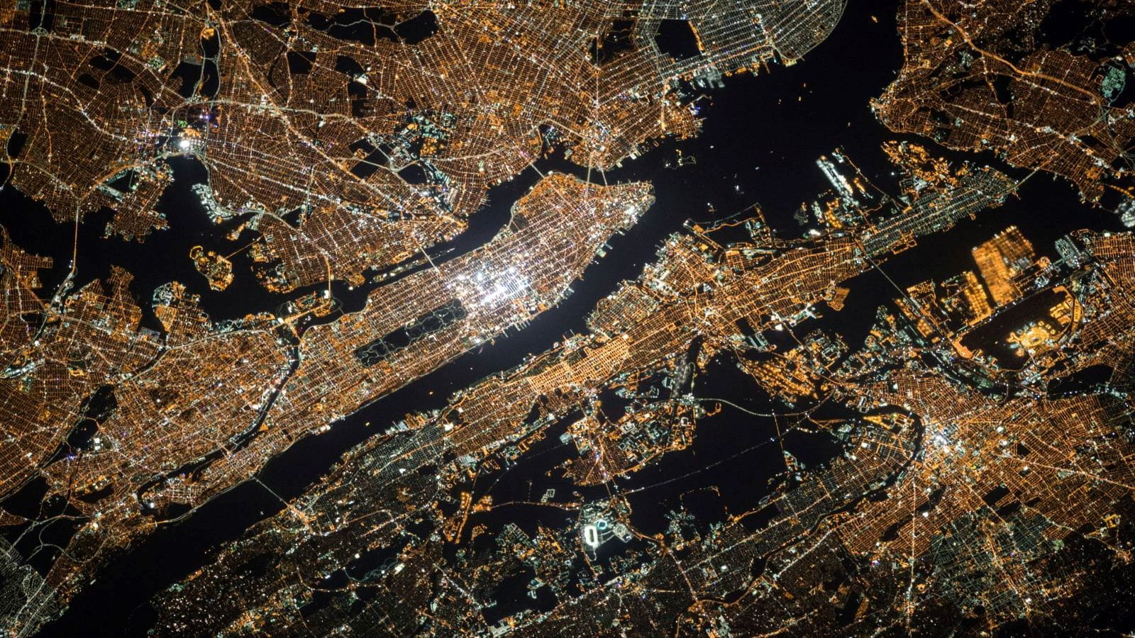
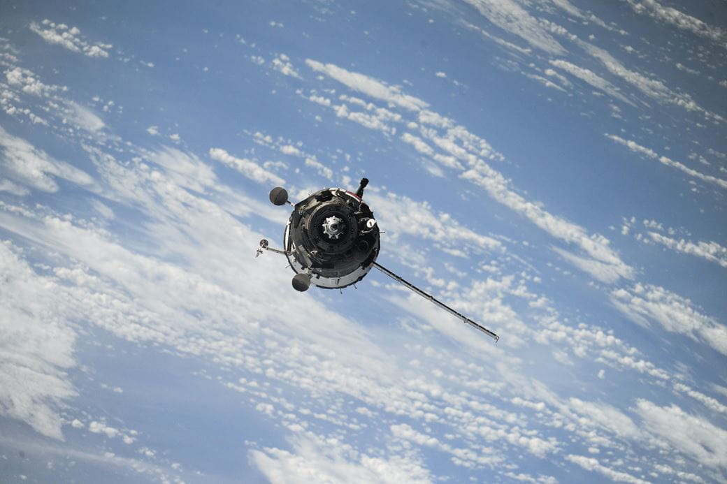
As well as phones and connected devices, the information is increasingly coming from – and being shared via – satellites. “When I started, most of the satellites were run by government agencies, or communities of government agencies. But nowadays, we have advanced commercial satellites collecting very high spatial resolution data, updated daily for global coverage,” says Jing Gao.
Today’s satellites offer richer insights, like adding thermal dimensions to geospatial data, and can directly measure methane emissions with precision, down to the level of individual sites, according to Seidel. “In the past, methane detection required expensive drones or planes flown on-site. Satellites allow for global monitoring. These new capabilities enable tracking of emissions that was not possible before.”
Advanced technology not only means that there is more data available, but that we can analyse that data more effectively, efficiently and cheaply. “In the past, geospatial analysis required expensive manual work by analysts and interpreters. Now AI reduces labour costs,” says Daniel Seidel, founder of LiveEO, a satellite-based infrastructure monitoring startup.
The sustainability imperative
Close monitoring of environmental change is the lead use case for advanced geospatial technology today. And this isn’t just for scientific endeavour, but also for commercial enterprises to manage risk and comply with tightening regulations.
LiveEO focused on asset monitoring after major storms caused damage to infrastructure like railways and powerlines in Germany back in 2017. The storm impacts showed how critical infrastructure covers large areas and traditional inspection processes have many blind spots, says Seidel. "There will be more storm events in the future, and infrastructure in a lot of countries is getting older and older. These two trends mean that we need to make more data-driven decisions.”
Tiny location intelligence details can have outsized impacts. The wildfires in Maui, while still under investigation, appear to have started where power lines were overgrown by vegetation, says Seidel. Location intelligence could flag such risks before they manifest into disaster. Asset owners need to spot emerging risks before they manifest. Droughts, for instance, cause soil to become unstable, leading to subsidence issues like sinking or displacement of ground, bridges, and pipelines.
Legislation will drive companies to invest further in geospatial capabilities. The European Union Corporate Sustainability Due Diligence Directive will require companies to respect human rights and environmental standards in their supply chains. “New EU regulations require proving that commodities like palm oil, coffee and timber did not cause deforestation in other countries, or companies face fines,” according to Seidel. LiveEO is using satellite data to help supply chain actors prove deforestation status. “Since satellite data can provide proof of deforestation status, there is now commercial incentive for companies to adopt monitoring.”
Geospatial intelligence can also inform more targeted climate mitigation decisions. CARTO is working with urban authorities to design adaptation measures. “A city wanted to prioritise areas for planting trees to mitigate urban heat. Many data layers went into a scoring model. This model would put together seven or eight layers of information into a score,” explains de la Torre. “AI generates natural language explanations for each area's score, explaining how factors like distance to parks, historic temperatures, and socioeconomic status contributed.”

Powered by AI
Generative AI, and cloud platforms like BigQuery, Snowflake, and Databricks, could help widen geospatial capabilities even further across enterprises and functions.
Telecom company BT, for instance, built a new AI-powered "conversational GIS" system for a billboard and outdoor advertising company, allowing advertisers to have a conversational interface to design ad campaigns and find billboard inventory, instead of using complex traditional tools. Users can express campaign goals conversationally and the AI suggests relevant parameters and filters to refine the search. British supermarket chain, Asda is using the platform to plan locations for grocery lockers. British rail company, Network Rail has enlisted it to analyse the payback potential of installing solar panels at stations and along railways.
In the longer term, geospatial data will be essential in helping humanity adapt to the uncertainties of the climate crisis. "Right now, we have enough data, enough computational power that could allow us to have an understanding of the long term, large-scale consequences of our actions,” says Jing Gao. "You can do that with computational models of different processes like climate change, population change, urbanisation, and put them together in a simulated world, and let them interact for 50 to 100 years.”
Investment insights
- The geospatial analytics market is expected to balloon to USD142 billion by 2028 from USD 78.5 billion in 2022, representing a compound annual growth rate of 12.6 per cent, according research firm to Markets And Markets.
- It is an area which has applications across many industries, creating a broad opportunity set for investors. Big tech firms like Google are at the forefront of developing some of the software and applying it to their products. In agriculture, detailed images can help improve efficiency and increase crop yields; geospatial data is also used to track a growing force of autonomous tractors and other farm machinery. Other areas include urban planning and the design of smart cities, security and transportation.
- Geospatial data also has a key role to play in measuring the impact of climate change, which in turn can help direct investment to area where mitigation and adaptation measures are most needed.